


News and Events
News Media Contact: Erin Hatfield, 405.437.8468
News Releases | Agency Calendar
News Media Contact: Erin Hatfield, 405.437.8468
News Releases | Agency Calendar
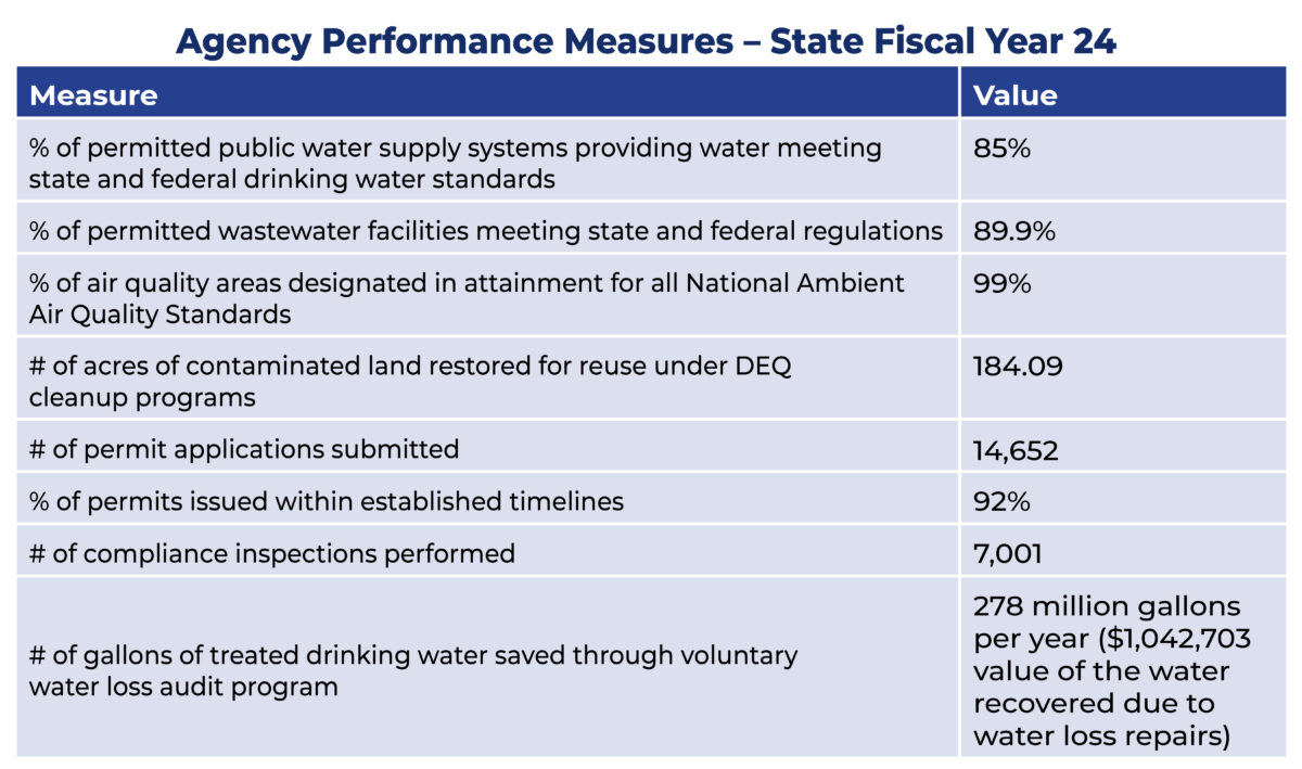
DEQ tracks its progress toward achieving the agency’s mission, in part, through key performance measures. These metrics help the agency assess whether our work is on target or whether course corrections are needed.
The agency is committed to continuously improving processes to help operate as efficiently as possible and to provide excellent customer service. Our key performance measures help track improvements and progress.
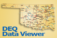
DEQ’s geographic information system (GIS) is used to manage visual representation of data in maps. DEQ uses GIS to make maps that communicate, perform analysis, share information, and solve complex problems helping to make Oklahoma an even better place to live. Visit the DEQ GIS Maps & Data website to explore maps and download data. Data layers on our DEQ Data Viewer include air monitoring sites, Superfund sites, storm water sensitive areas, accredited laboratories and much more.